Three pains we hear every day from realtors and brokers
Time lost in government offices
Zoning, FAR/BCR, road registries, water and sewer maps, hazard data — all spread across five to eight separate counters at the legal affairs bureau and city hall. Even experienced staff need 8 to 16 hours; new hires take 2 to 3 days. Travel and waiting time push the productivity loss higher still.
Estimated time for a new hire to complete the government-office round: ~2-3 days
Risk of missing items in the disclosure statement
Article 35 of the Building Lots and Buildings Transaction Business Act enumerates 14 mandatory items. With zoning, FAR/BCR, road registries, water and sewer, hazards, and registry data to cover, a single missed item can lead to litigation or damages. The person-dependent review process introduces quality variance.
Mandatory items under Article 35: 14
Sales materials that lack persuasive evidence
Static drawings and verbal explanations rarely settle a buyer's anxiety. "Why this price?", "What's the area's future?", "What about disaster risk?" — proposals without data-backed answers lose deals. Affluent and investor segments especially demand evidence.
Land-price history MAPRISE provides: 19 years
What changes after MAPRISE
| Dimension | Traditional workflow | After MAPRISE |
|---|---|---|
| How information is gathered | Round 5–8 separate counters (legal affairs bureau, city hall, water/sewer, etc.) | All layers shown together on one screen |
| Total research time | ~2 days (new hire baseline) | ~30 minutes |
| Disclosure-statement drafting | Handwritten / transcribed into Excel | PDF report can be generated in about 2 minutes |
| Evidence for client materials | Experience and intuition | Public datasets + AI summary |
| Risk of omissions | Person-dependent, variable | Structured templates aligned with Article 35 |
"Full workflow 2 days → 30 minutes" breaks down as map + AI interaction ~5 min, PDF output ~2 min, and the remaining ~23 minutes for review, internal write-up, and distribution prep. "Can be output in 5 minutes" refers specifically to the disclosure-statement support report itself — the human review, named seal, and stamping still happen separately.
The times above show the workflow improvements MAPRISE aims to deliver (estimates); actual results vary by environment and usage.
Four MAPRISE capabilities built for property research
Brokerage, sales, and rental-management due diligence — MAPRISE's core capabilities cover the whole flow.
Overlay all layers on one screen
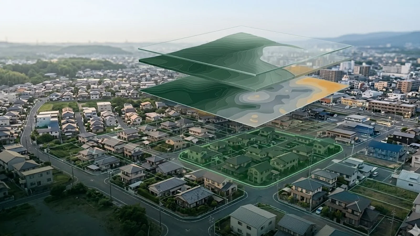
Zoning, FAR/BCR, road registries, water and sewer, hazards, registry maps — overlay them all on a single map. No more inter-agency travel.
Auto-generated disclosure-ready PDF
Data is organised in the order Article 35 mandates and exported as a PDF. Even new hires can assemble omission-free supporting materials. The official statement still requires a takken-shi's review, name, and seal (the MAPRISE PDF is supporting / internal material).
Split-screen comparison (2–4 panes)
Compare multiple maps, layers, and time points side by side. "Land prices 19 years ago vs. today," "hazard overlaid with zoning" — generate persuasive materials on the spot.
AI conversation
Ask the AI in plain Japanese: "summarise hazard risk for this area," "what should I cover in the disclosure here?" The data is analysed and summarised in seconds.
From inquiry to disclosure prep in a single day
| Time | MAPRISE step | Duration |
|---|---|---|
| 9:00 AM | Inquiry received → address search on the map | 1 min |
| 9:01 | Toggle zoning / hazard / land-price layers | 3 min |
| 9:05 | Ask the AI to "summarise key risks for this area" | 2 min |
| 9:10 | Review 19-year land-price trend on a split screen | 5 min |
| 9:15 | Export the disclosure-support PDF | ~2 min |
| 9:20 | Takken-shi review + edits + print | 20 min |
| 9:45 | Client-ready proposal complete | — |
Map + AI ~5 min, output ~2 min, review ~23 min — the whole workflow in 30 minutes.
DX challenges facing the real-estate industry
(See the four hero statistics above.)
Five questions we hear most from realtors and brokers
Q. Can the PDF be used directly as the official disclosure statement?
A. The PDF MAPRISE outputs is supporting / internal material. The official statement still requires a takken-shi's signature and seal. Use the PDF as a base, have the takken-shi review and supplement it, and finalise. MAPRISE is an efficiency tool, not a substitute for a regulated procedure.
Q. How accurate is the data?
A. Layers are pulled directly from the public open data of MLIT, GSI, and individual municipalities. For formal verification of rights, you'll still need a registry certificate from the legal affairs bureau, and for road registries / water and sewer, please confirm with the respective counters. Use MAPRISE as supporting reference; final confirmation belongs with the public bodies.
Q. Does it work on smartphones?
A. Yes. The responsive design supports phones and tablets — map, AI, and data lookup all work on the go. Checking hazard or zoning data on-site, in front of a property, is a particularly common use case.
Q. Can it be used offline?
A. The live map tiles and AI require an internet connection. Exported PDF reports, however, can be viewed and printed offline — a common pattern is to generate the PDF before a site visit.
Q. Is onboarding support available?
A. During the beta we offer email support at info@maprise.jp. Pro and above receive priority support. Try the free tier first and reach out with any questions.
Recommended plan
For the typical realtor / broker workload (10–40 property investigations per month), we recommend the Pro plan.
- Up to 10 reports per month with company logo
- Six months of AI conversation history retained
- The baseline for "complete property research on the map" experience
See it in the real app
Use case: when an inquiry comes in, pick the analyses you need from 12 menus, then overlay site history from the Meiji era with current hazards to assemble disclosure-survey evidence on the spot.


Analysis results are for reference only. Consult a licensed real-estate agent or specialist before any contract or investment decision.